Kalkkiruukki
🌲 By Sonja
Trail
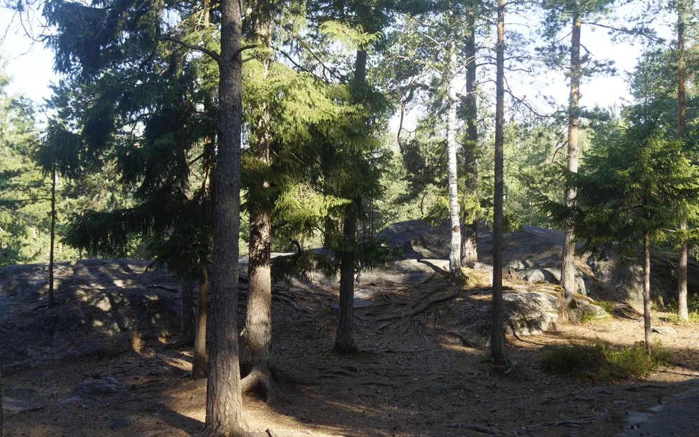
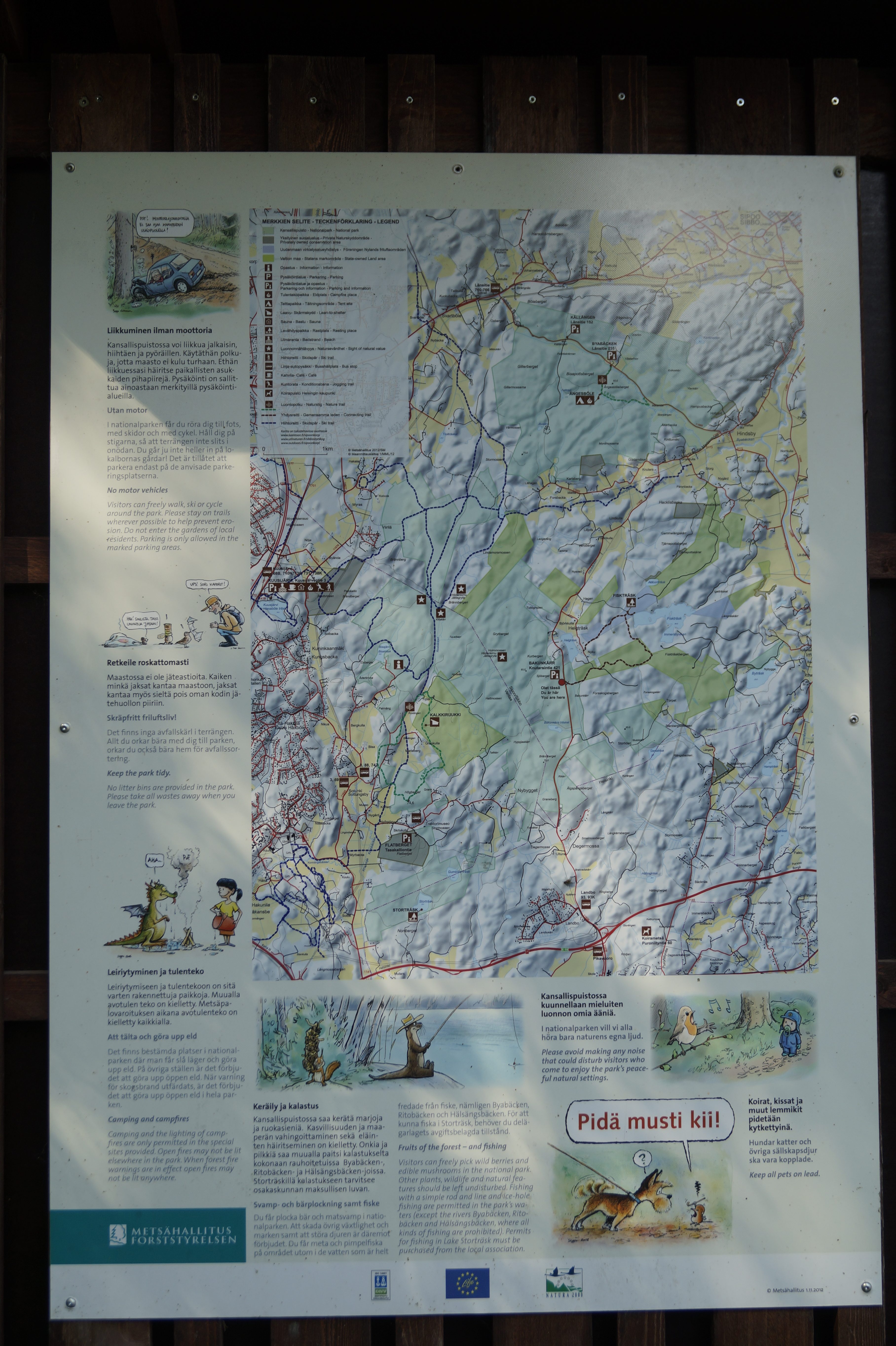
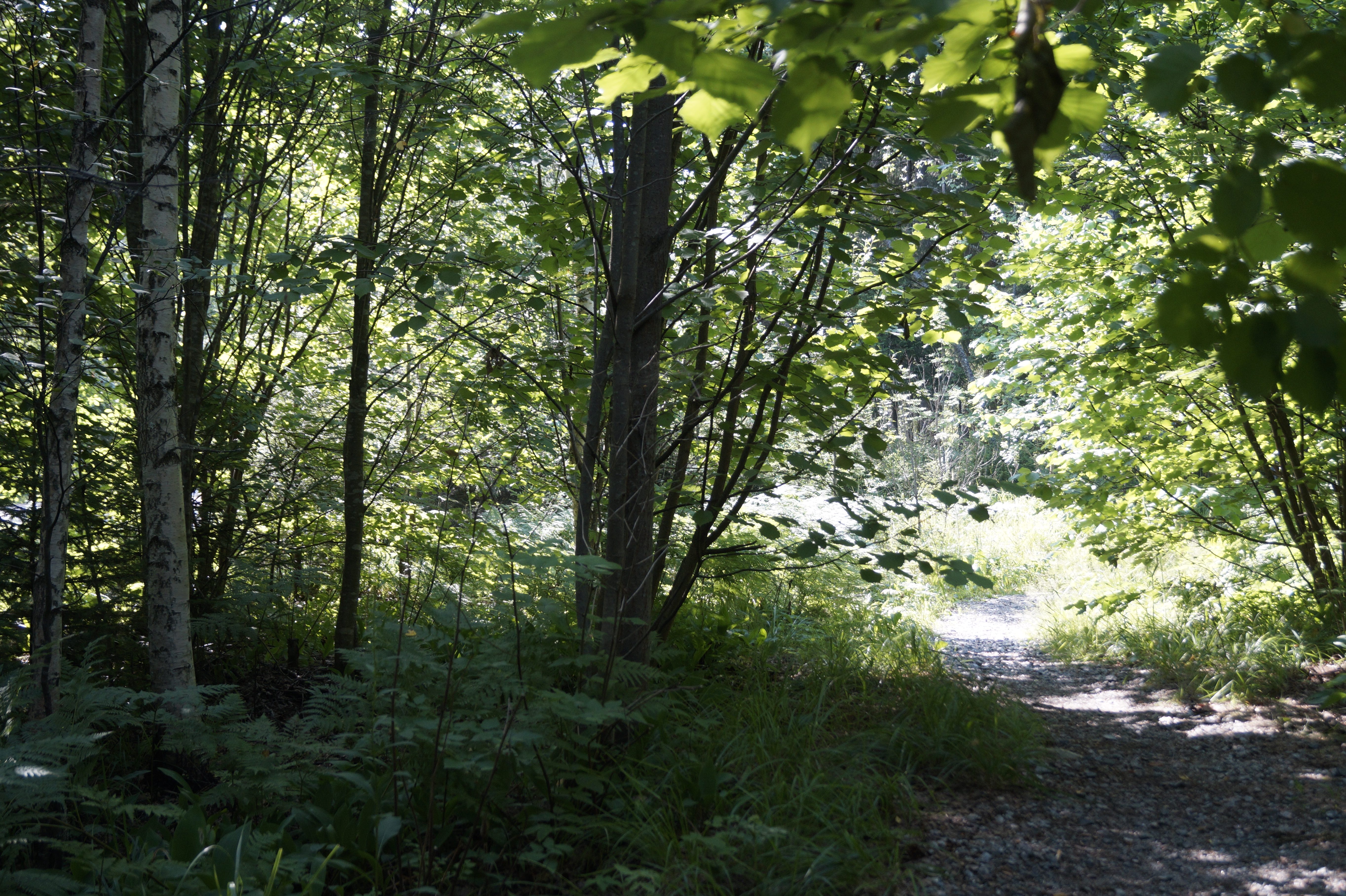
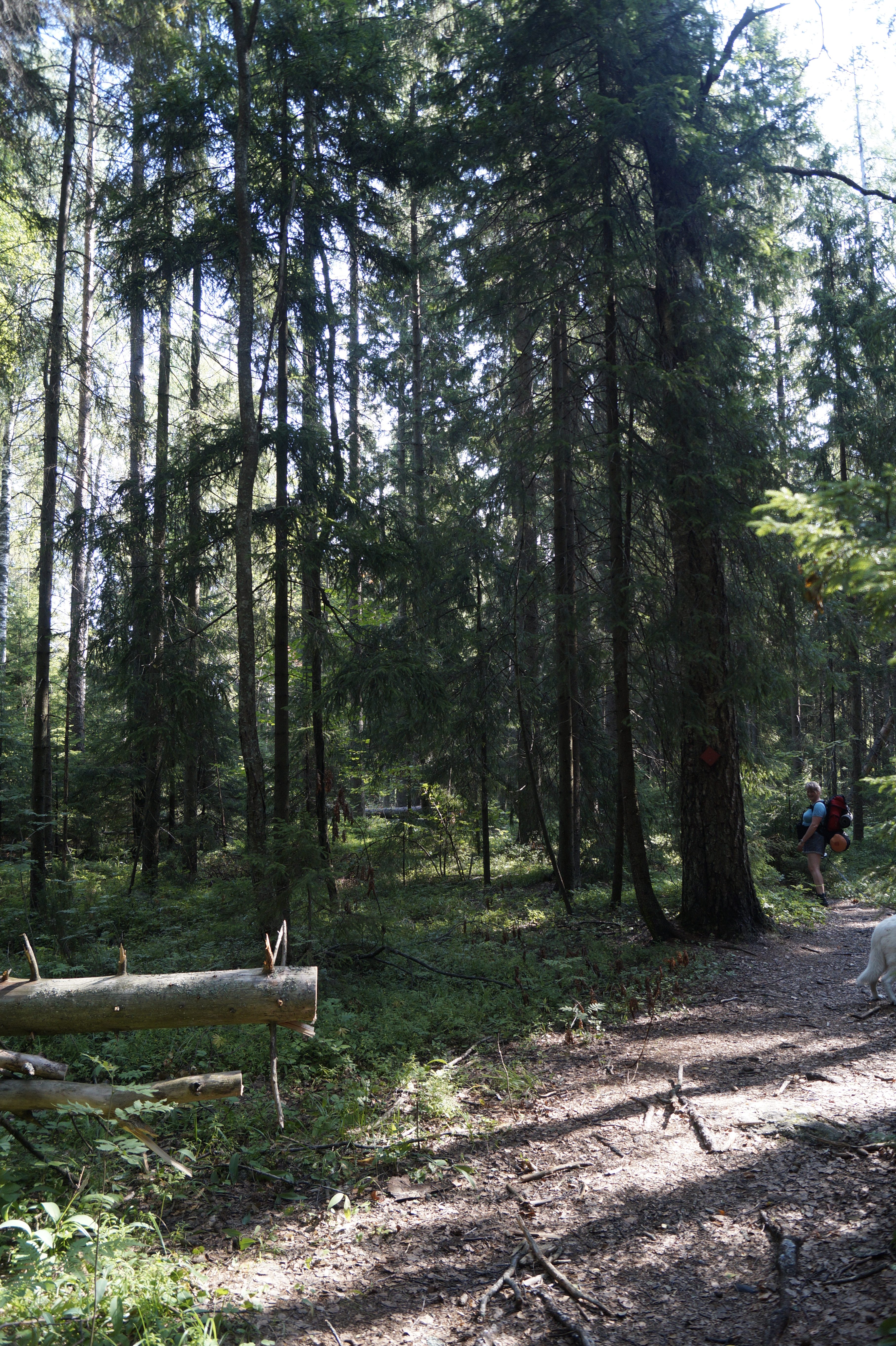
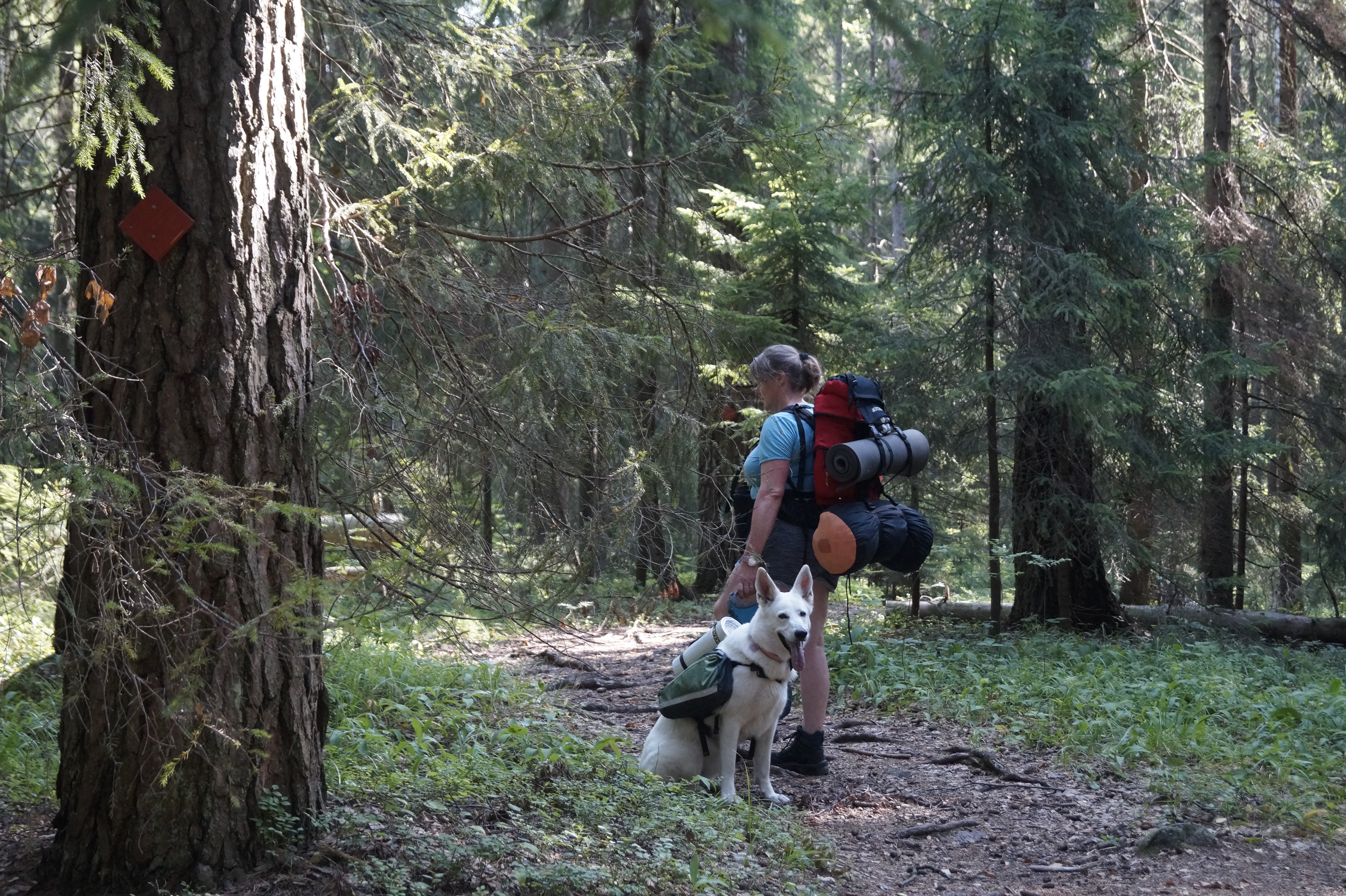
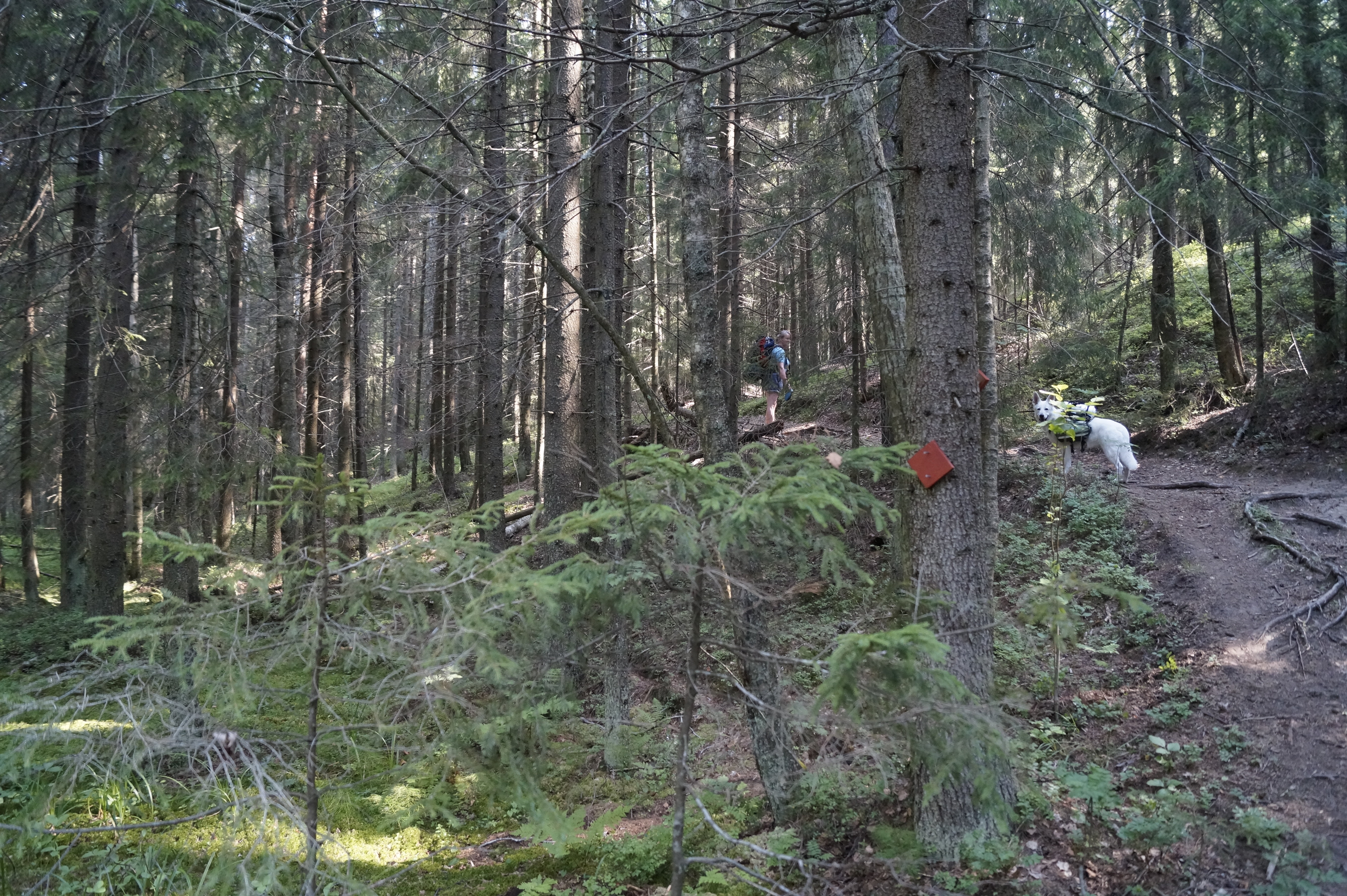
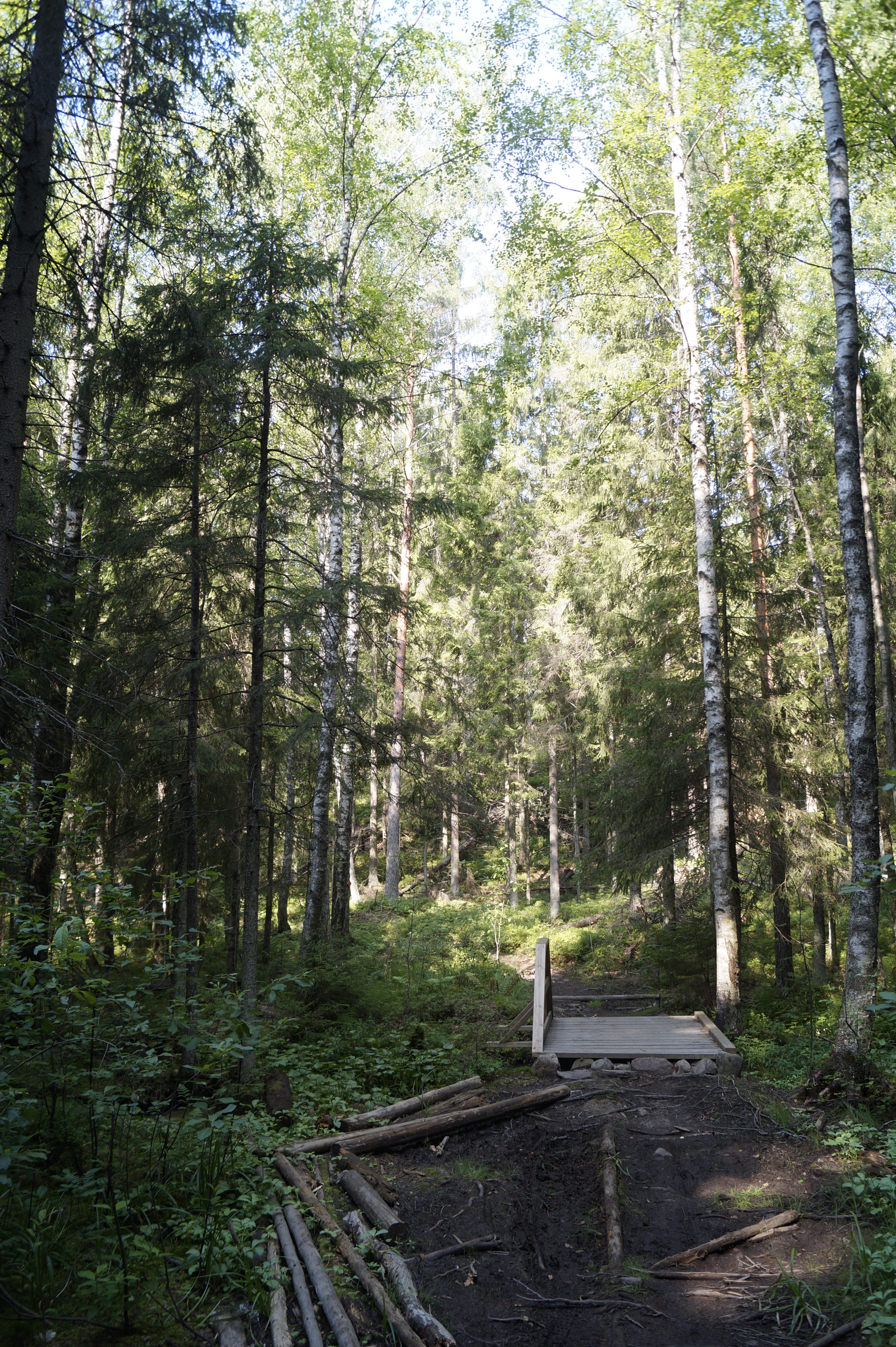
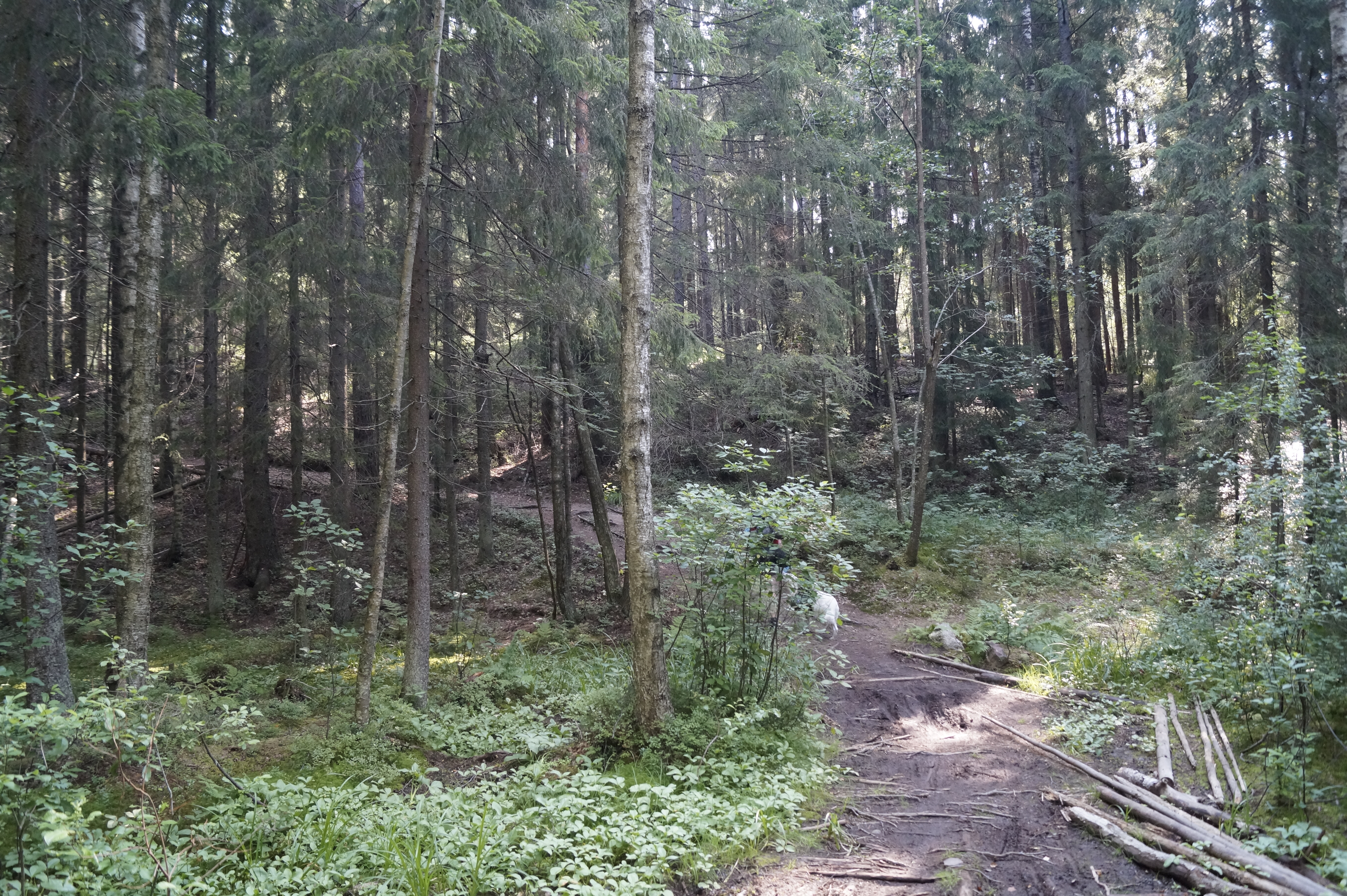
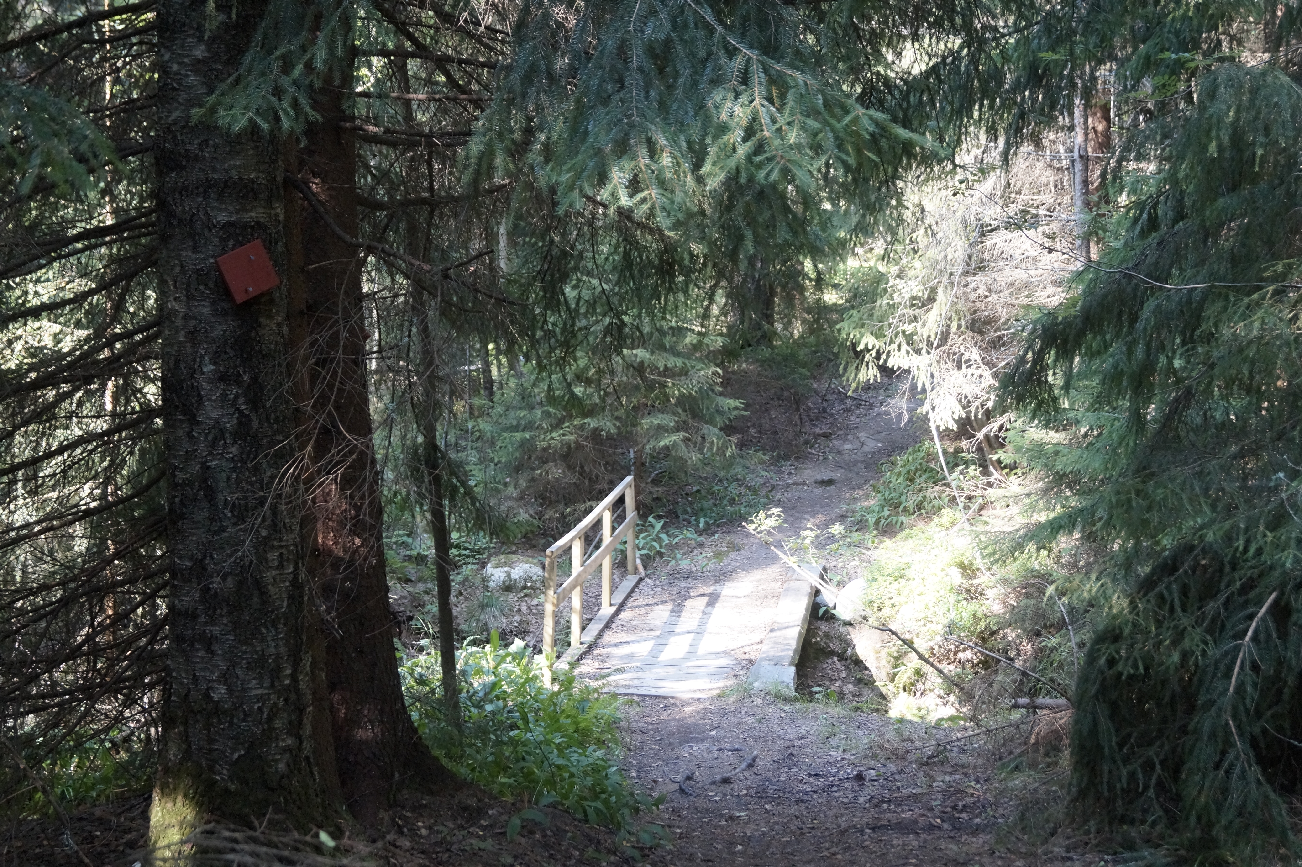
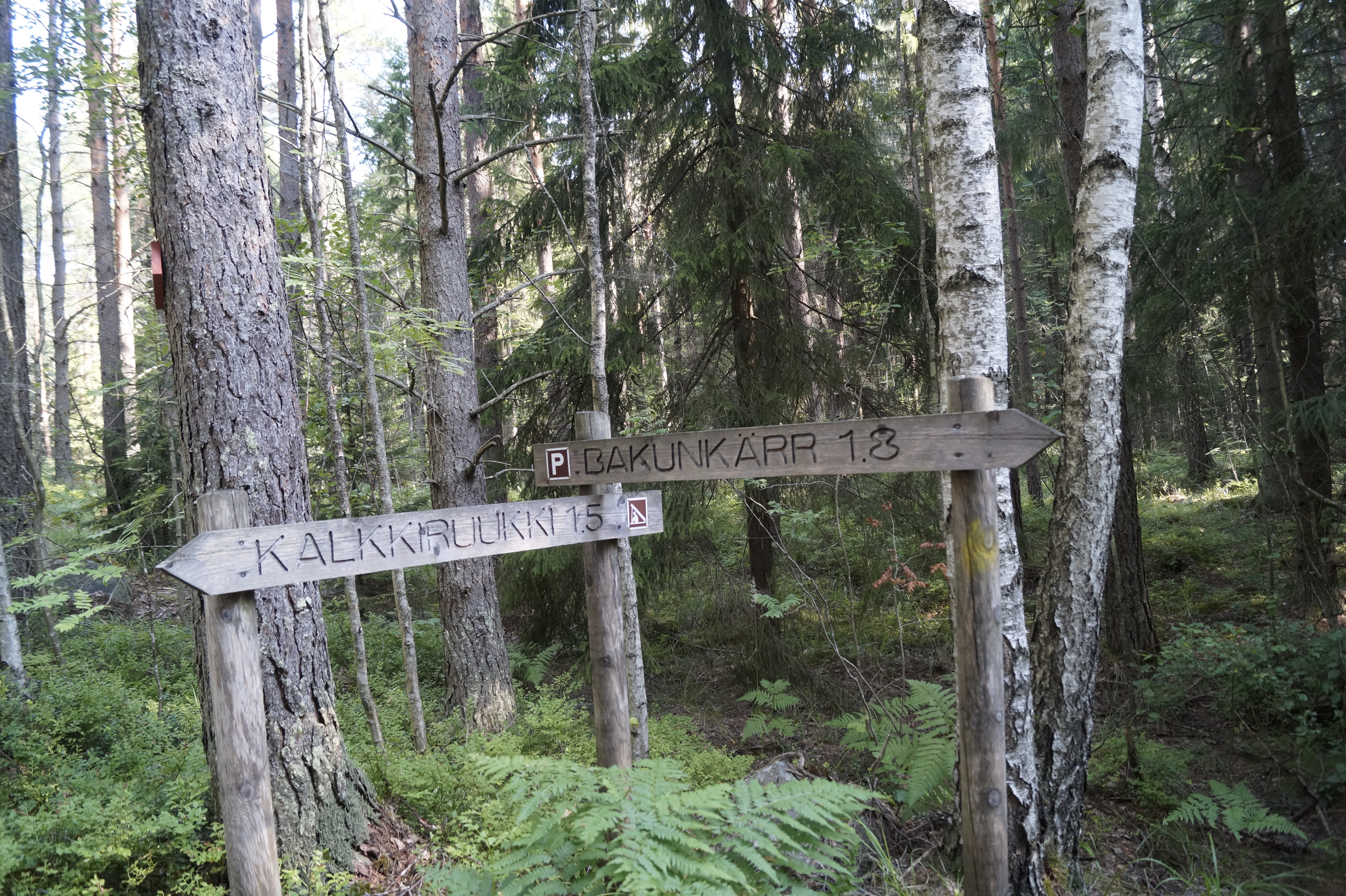
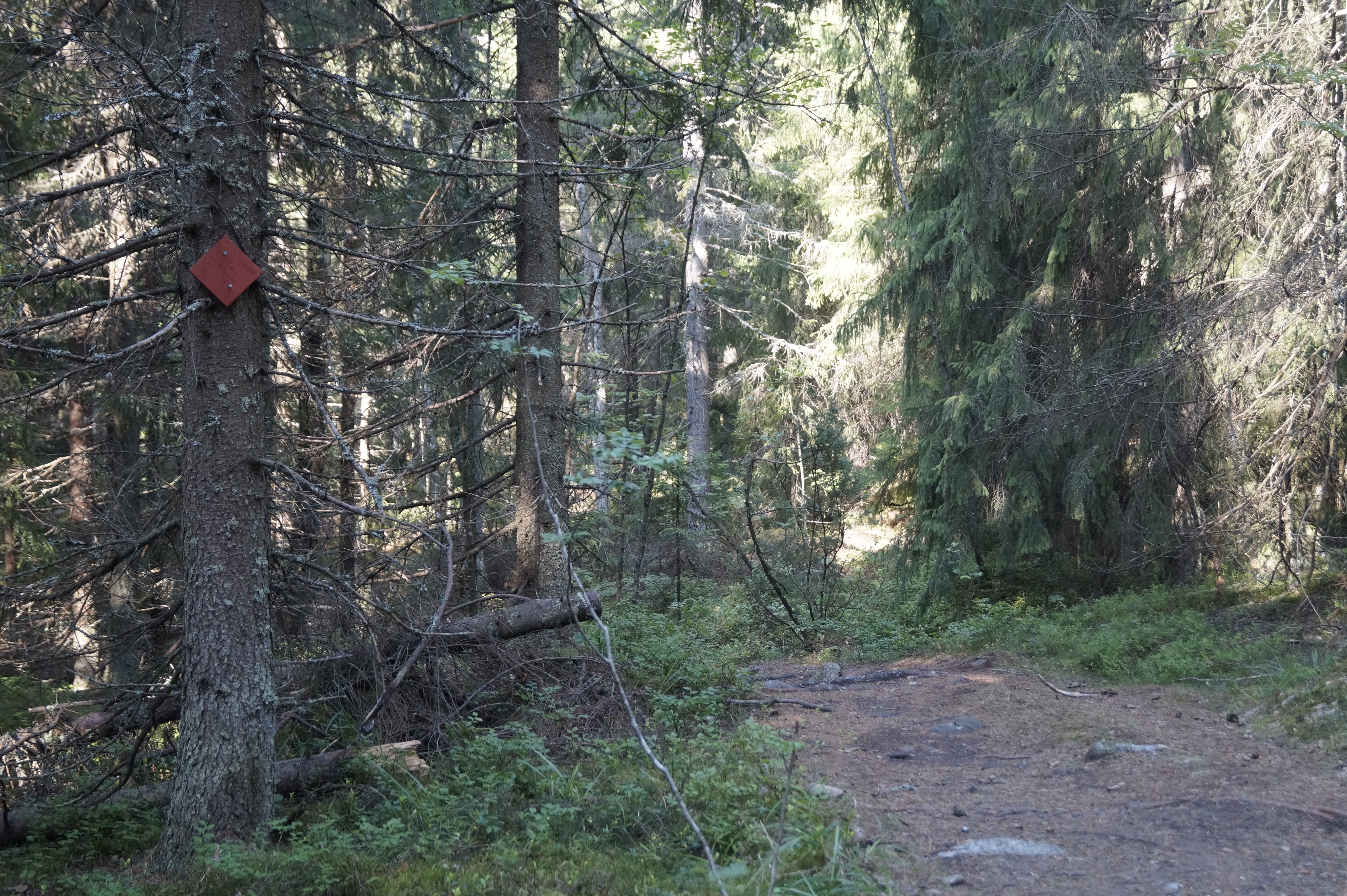
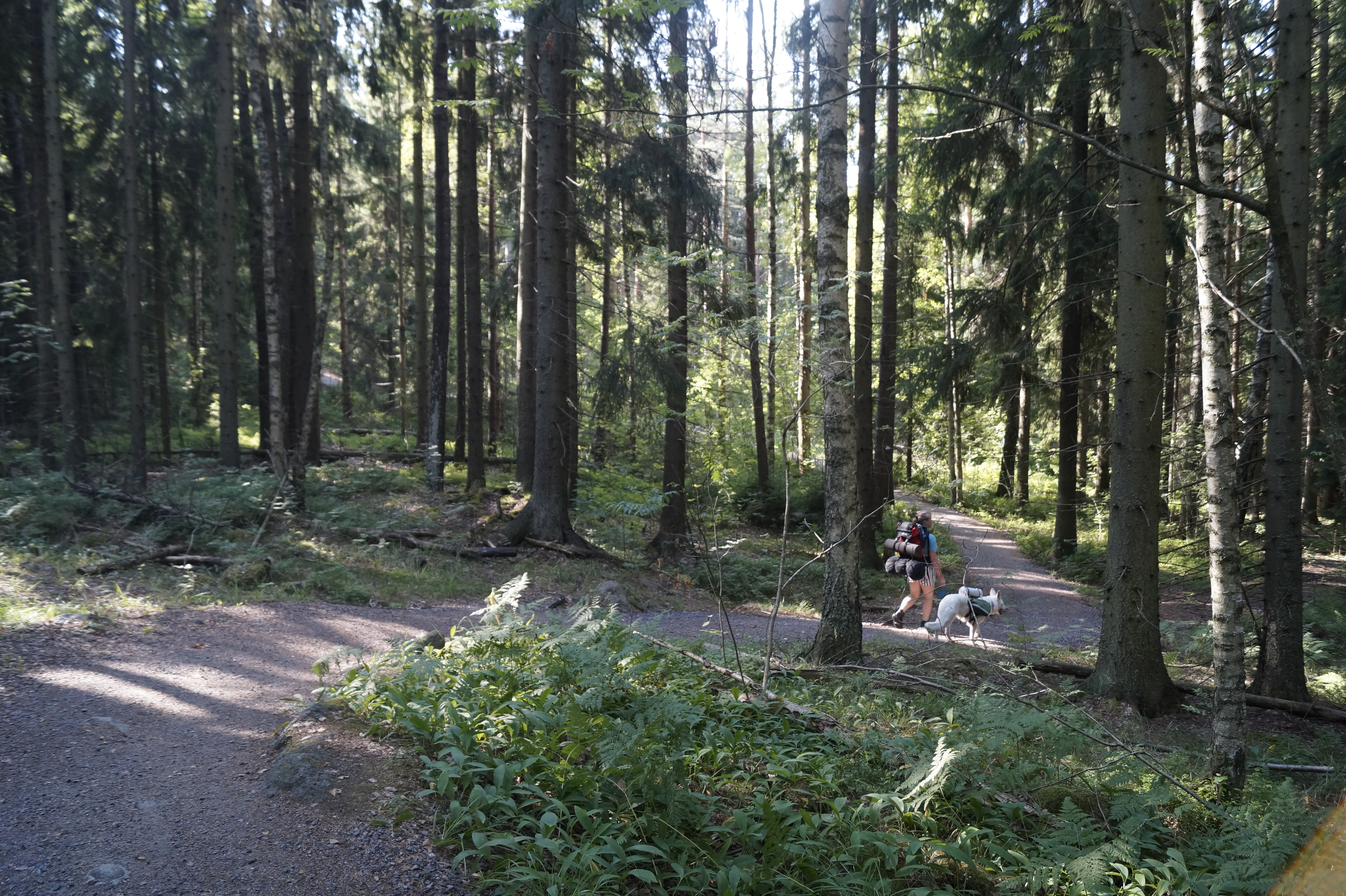
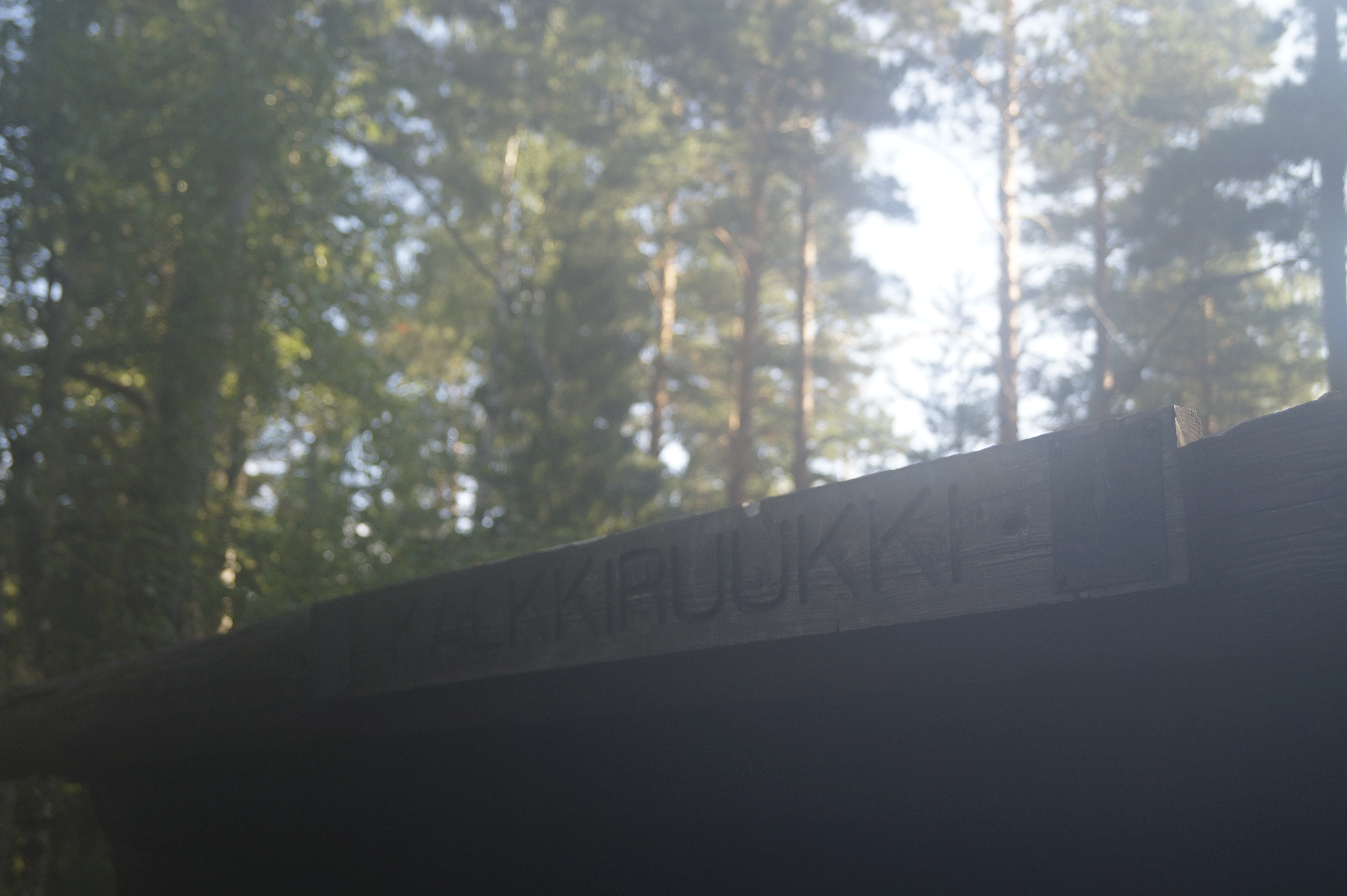
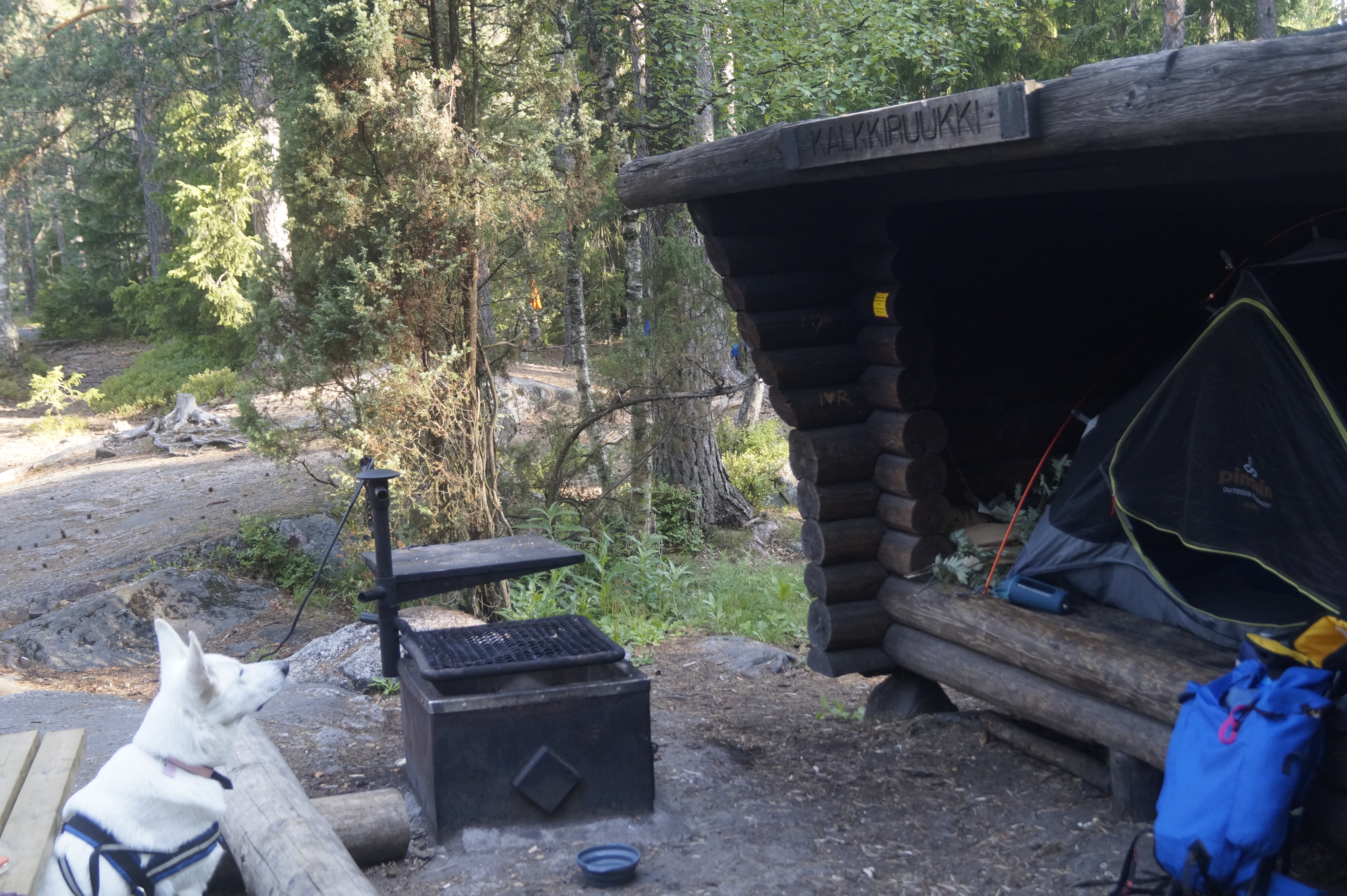
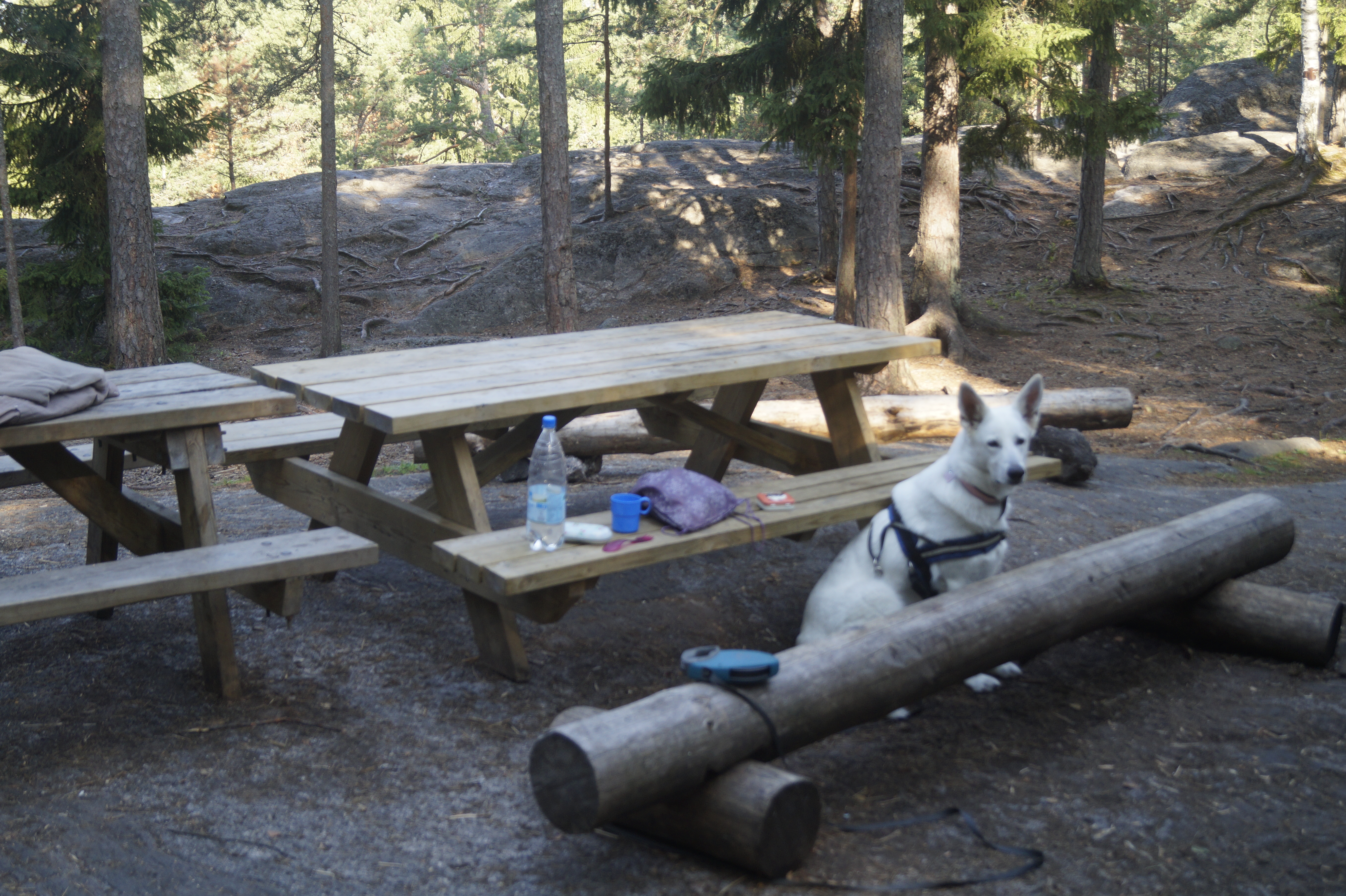
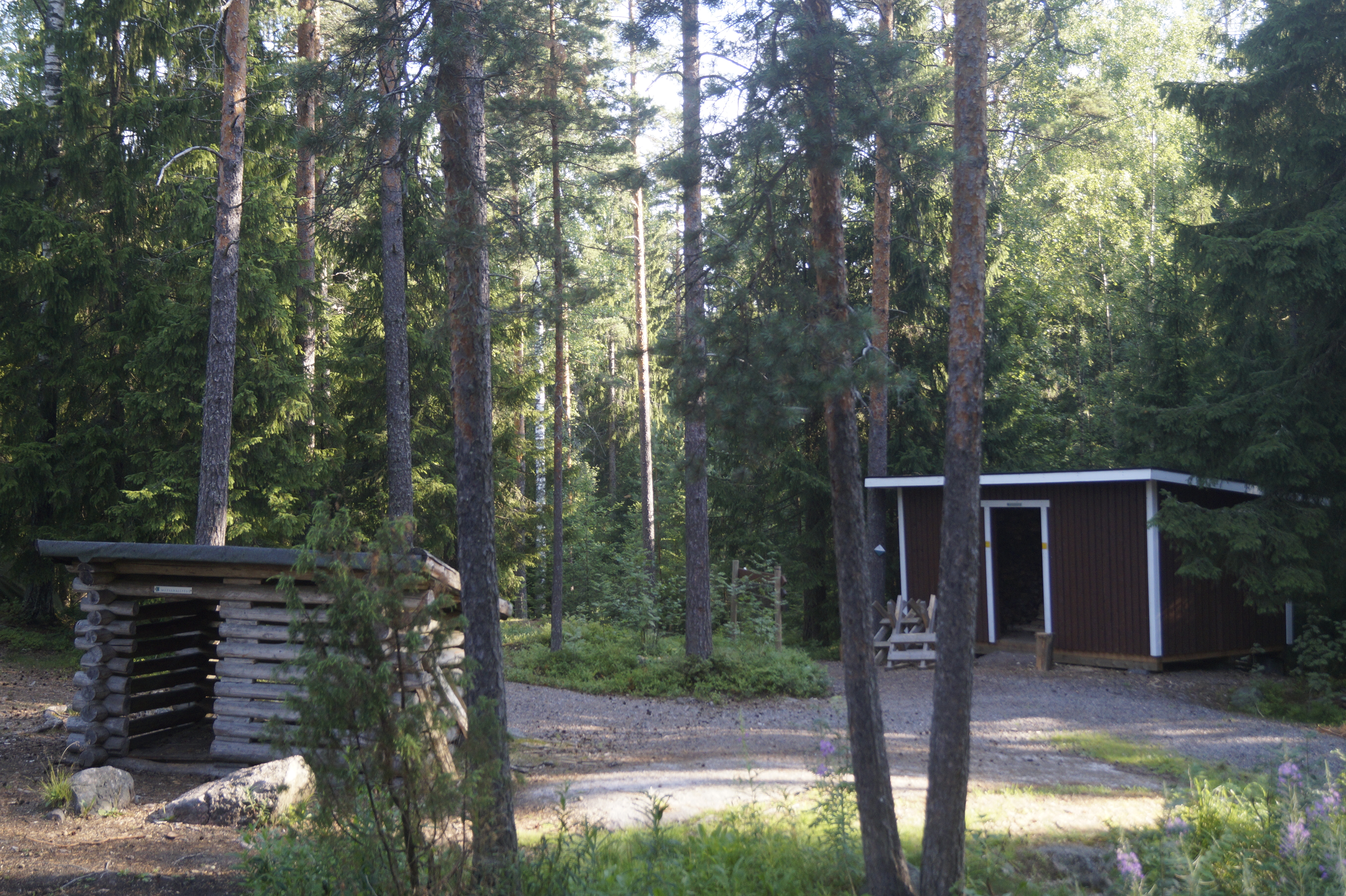
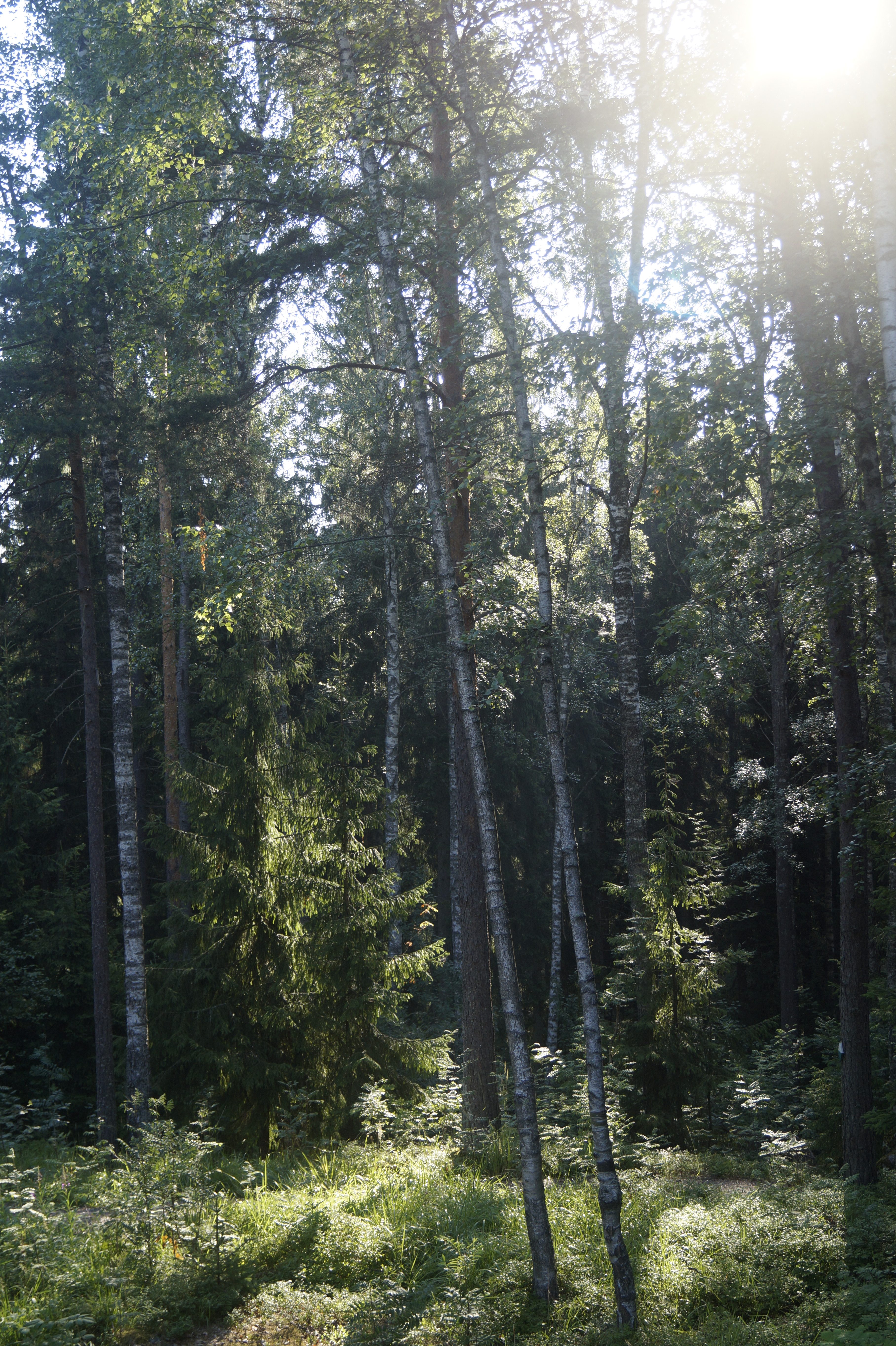
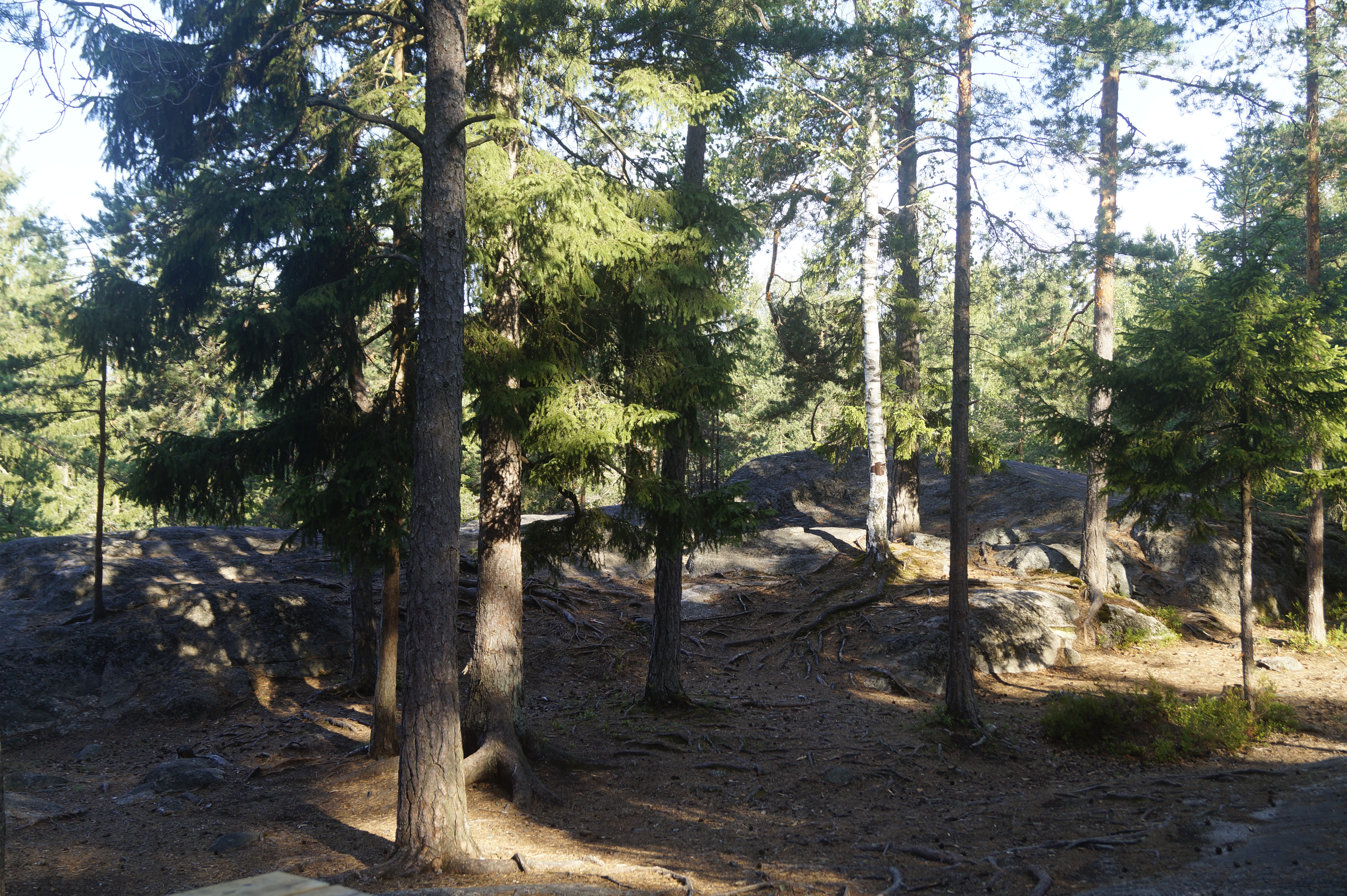
Starting from Bakunkärr parking area the trail follows the dirt road for a while, before turning to the right and going into the woods. Early on the trail is fairly flat with some roots of the trees to step over. The trail doesn’t leave the woods at any point, only the type of the forest varies along the way. At a few points you can see some landscapes peeking a little through the trees, but can’t really get a proper view. The terrain rises and falls almost all the way, but not really steeply. According to the sign posts the distance between Bakunkärr and Kalkkiruukki is 3,3 km and on the map (meant for planning the hike, not orienteering) 3,5 km. Kalkkiruukki lean-to is on a rocky hill, but the area is not too exposed or windy. In addition to the lean-to you’ll find there a fire pit and an eating area with tables and benches, wood shed and an outhouse. There is some levelish ground for a few tents. We ended up spending the night in the lean-to instead of putting up the tent.
Difficulty
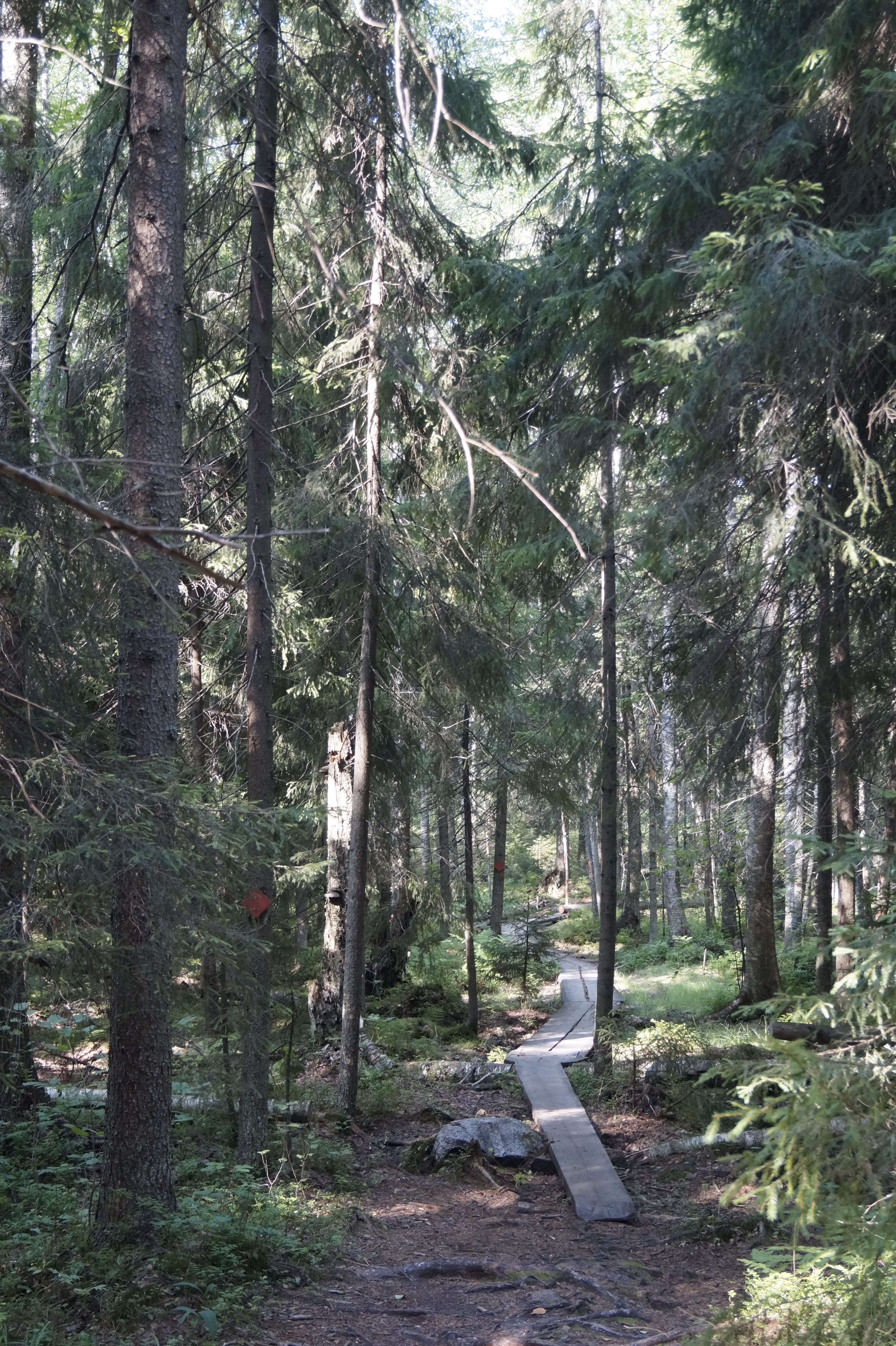
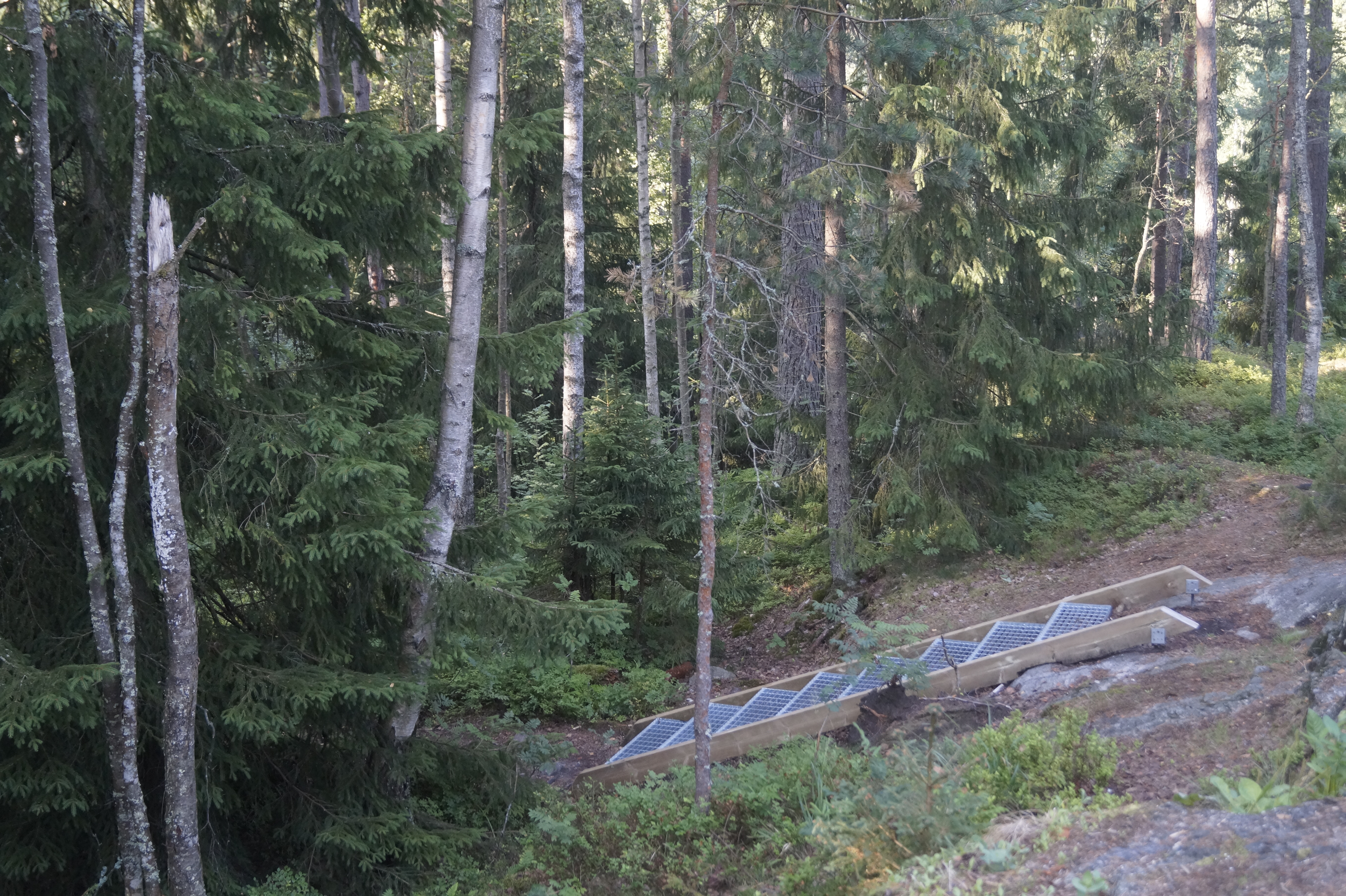
Wooded and hilly but mostly a broad, easy path that’s even been build at some points. A bit rocky here and there, some duckboards.
Starting point
Bakunkärr (parking area) 60.305846, 25.197018
Gallery
Location
Area
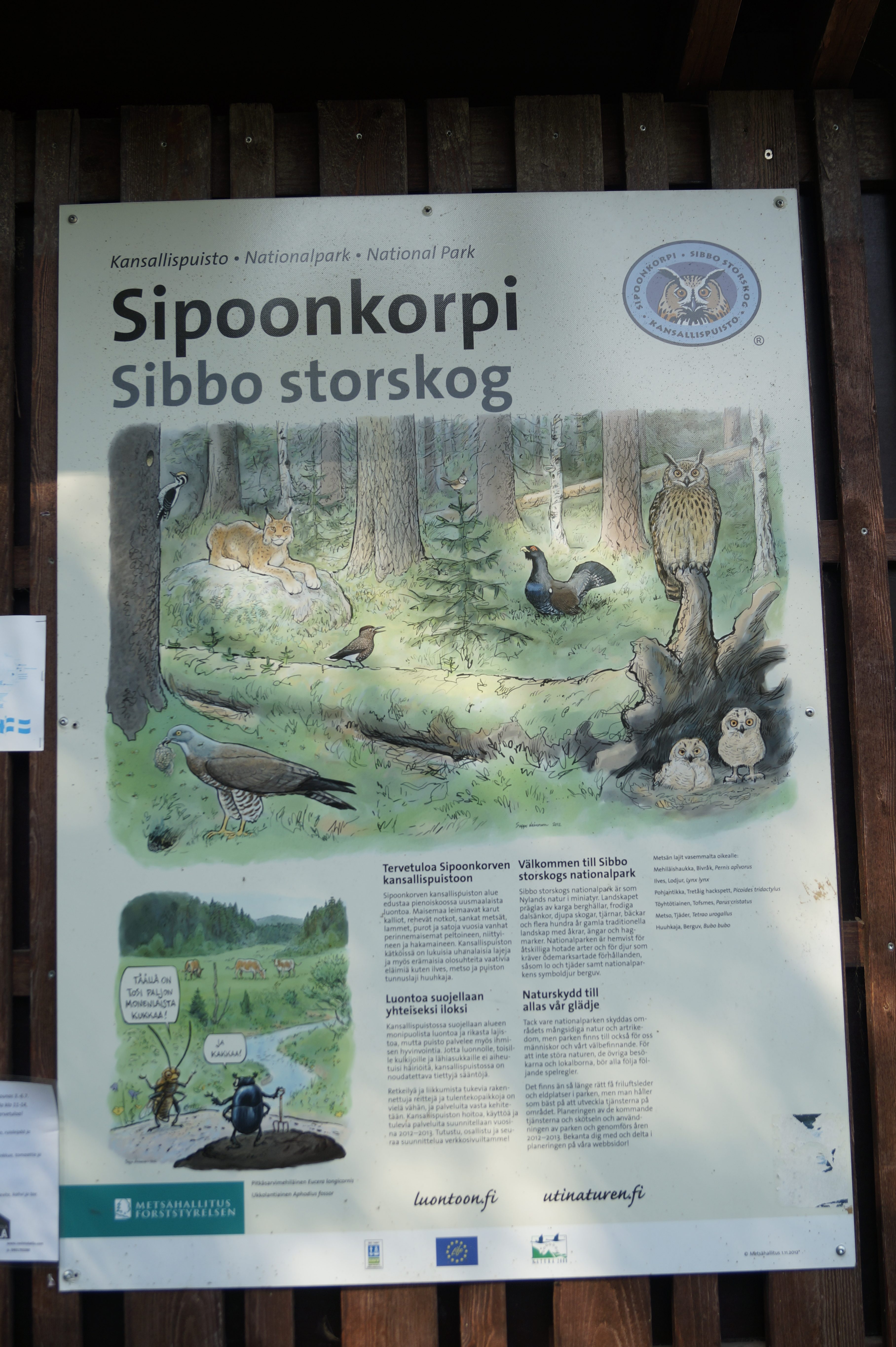
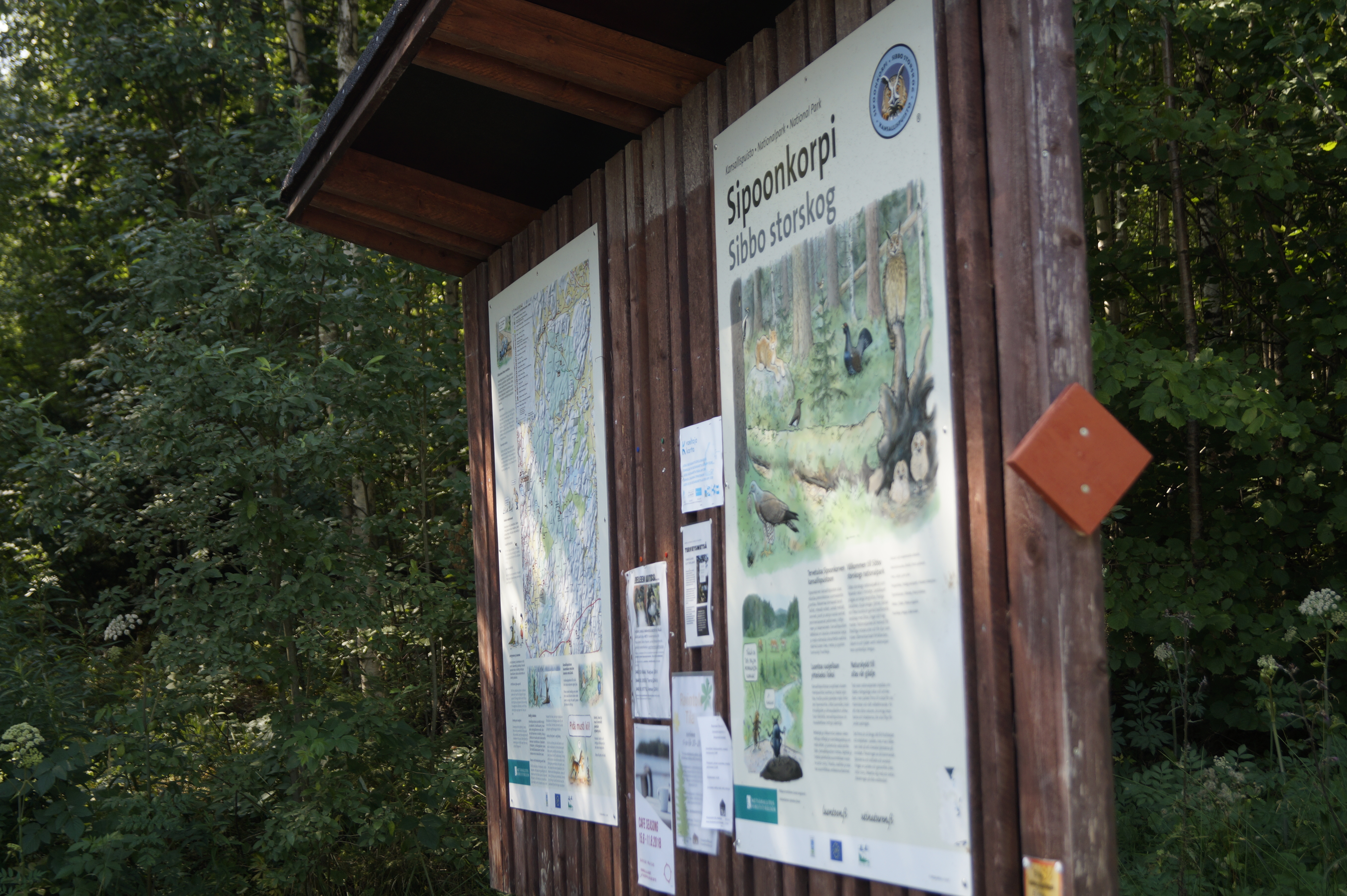
Sipoonkorpi National Park